It's a bit of a grissly name isn't it! There is of course a reason for that, but I'll come back to it later.
The Isle aux Morts lies very near the western-most extremity of New Foundland's south coast. I headed there on the first leg of my return journey to St Peter's on the Bras D'or Lake, Cape Breton. The hope was to get a better angle from the prevailing south westerly winds, for the passage across the Laurentian Channel seperating Cape Breton from New Foundland. It also meant I would get to experience a somewhat less dramatic, but as I was to discover, no less treacherous, coast. My discovery was historical rather than experiential, I hasten to add.
The 120 mile or so passage took 24 hours almost to the minute. The forecast was for mainly light headwinds and so I was fully resigned to motoring all the way. As it turned out though, I managed to sail on and off, for perhaps half of the time, which was a bonus.
The first part of the night was the most tiresome, with no wind and thick fog. The noise of the engine made it difficult to hear the alarm from the radar monitor, which meant snatching even a few minutes 'sleep' every 15 minutes or so, all but impossible. In the event I encountered no other vessels overnight but it would have been nerve wracking in the extreme to have been in that fog without radar.
Things improved later with the arrival of a few hours of a sailing breeze and the lifting of the fog.
On arrival at Isle aux Morts, I moored alongside the town quay; around which there was a lot of activity. It turned out I had arrived in the middle of their "Harvey Festival", held every year at the end of July to celebrate the life and heriocs of one of the earliest settlers in the area. George Harvey arrived from Jersey in 1780 and subsequently, along with his daughter Jill and their dog, affected two major maritime rescues of the crews and passengers of sailing ships wrecked on this treacherous coast.
A very friendly local helped me moor up.
My guide book said their were two shops in Isle aux Morts but they had both closed down!
I was therefore extremely grateful when Rolly (the friendly local) later drove me into the nearest major town (Port aux Basque) about 10 miles further west, to get some cash, do a bit of shopping and fill my reserve diesel jugs.
That night I went along to the open air music event held as part of the festival and met up with Rolly (and his wife) once again. I was hoping the music would be local folk but it was loud rock. The band was actually pretty good, but these days I find it almost impossible to converse amongst such a din. I spent a couple of hours there and went back to the boat for midnight. I was pretty knackered anyway, having got little sleep the previous night.
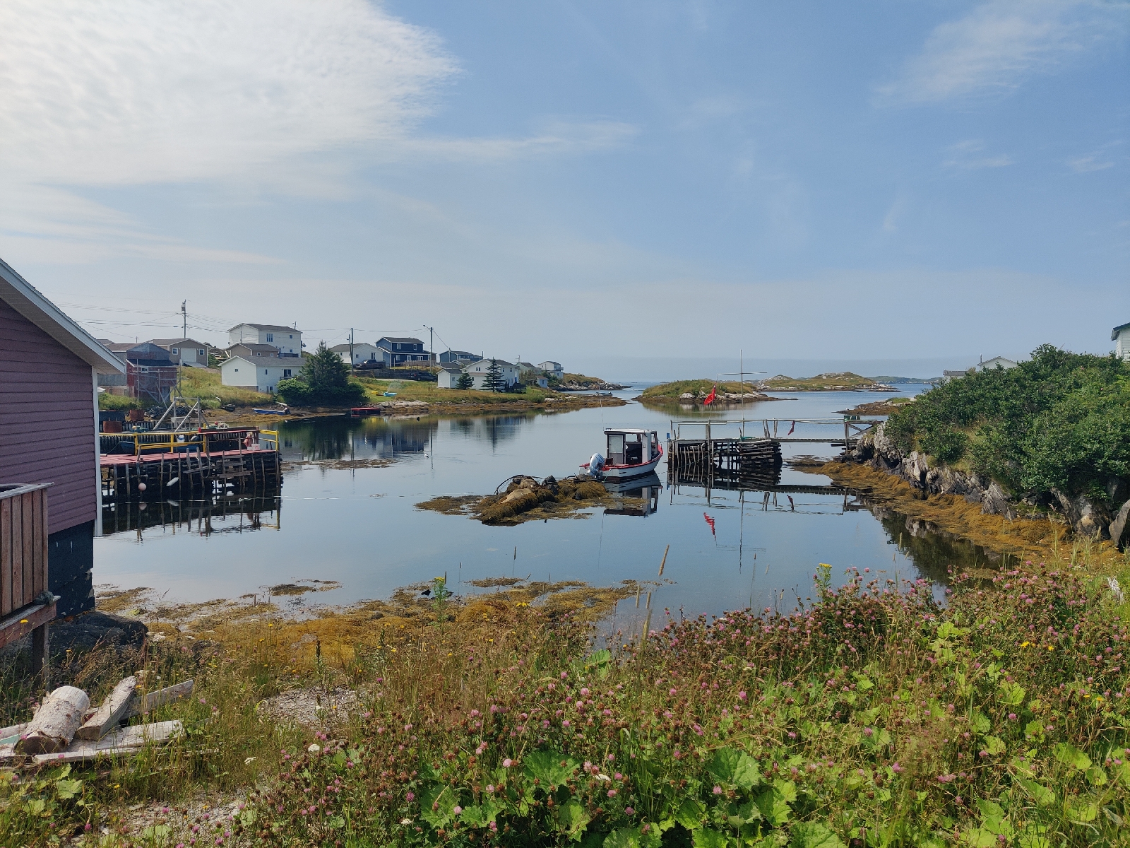
The next morning (Sunday 28/7), before the wind got up, I moved the boat off the quay to a nearby anchorage with the delightful name of "Mickle Tickle" - a narrow stretch of water between "Mickle Island" and the mainland.
After a late breakfast I rowed ashore to walk the "Harvey Trail", established by the locals to remember and celebrate the life of the Harvey family.
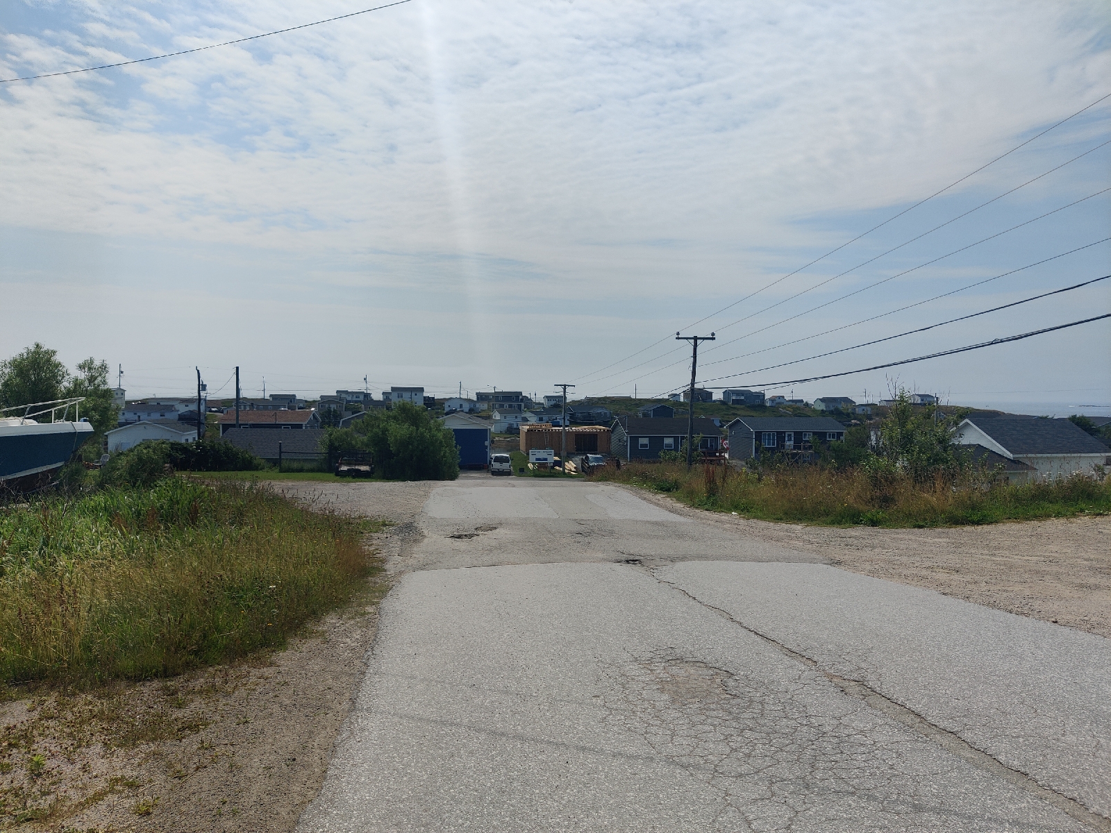
The trail started somewhere at the other end of the town which, back in the hay day of the Cod Fisheries, was a major settlement boasting a large fishing fleet and fish processing plant and thousands of residents. Today, the fish processing plant is a crumbling ruin and only a few hundred people live here permanently and all the shops have closed.
I had a little difficulty finding the start of the trail, but once again Rolly came to my rescue. Driving past, he stopped and took me to the trail head. A friendly and most helpful chap.
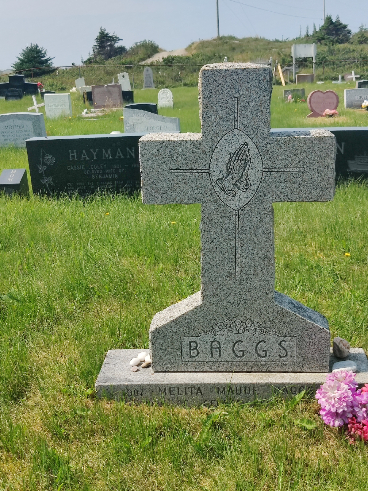
Before beginning the trail I took a look around the cemetery just next to the start.
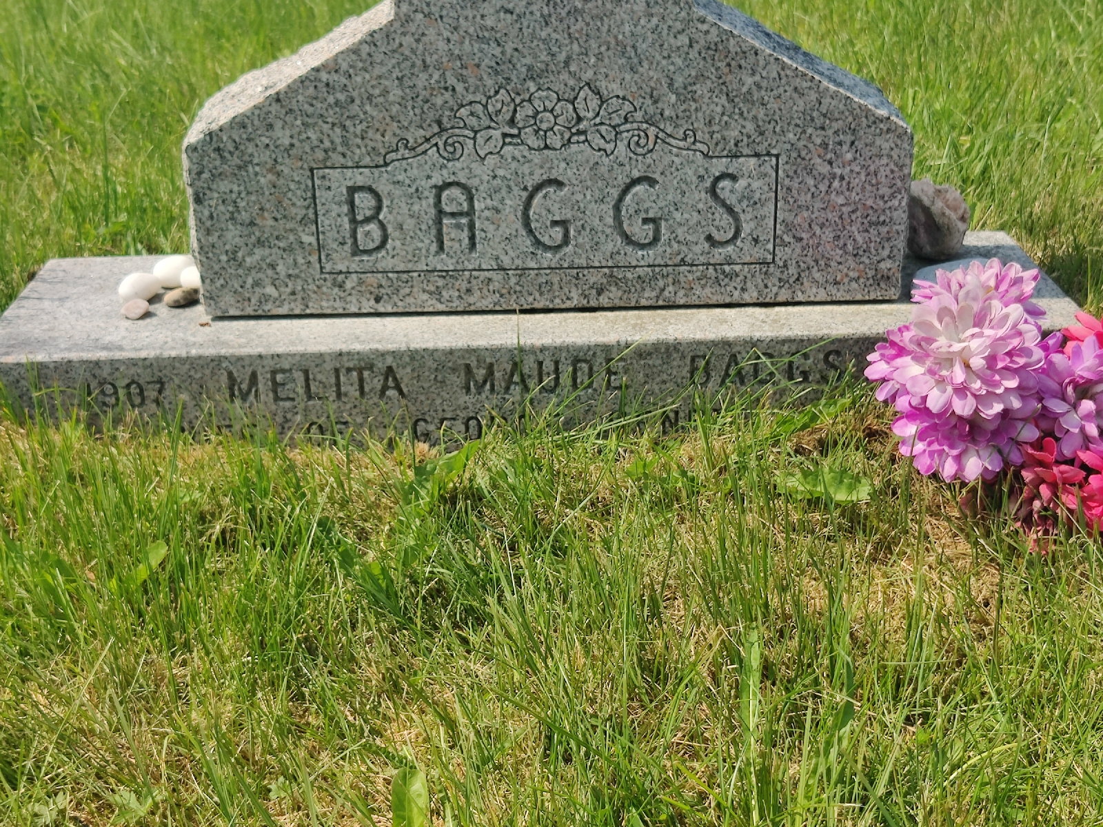
I wondered whether there were any "Bagg's" or "Baggs'" there. Sure enough, there was one..
Maybe one day, I'll try and find out more about them.
The trail wound it's way along the coast...
...but every so often, sections of the land it was on, had fallen into the sea...
...victims of the remnants of Hurricane Fiona that ravaged this coast in 2022!
Later on the trail I stopped and chatted to a local who was repairing it.
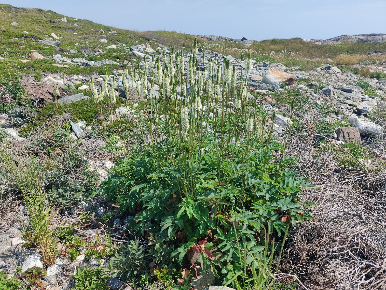
The gentle, but wild landscape seemed to be peatbog over a granite substrate (which often pretrudes through) peppered with water Lilly ponds...
... and is prefuse with wild flowers....
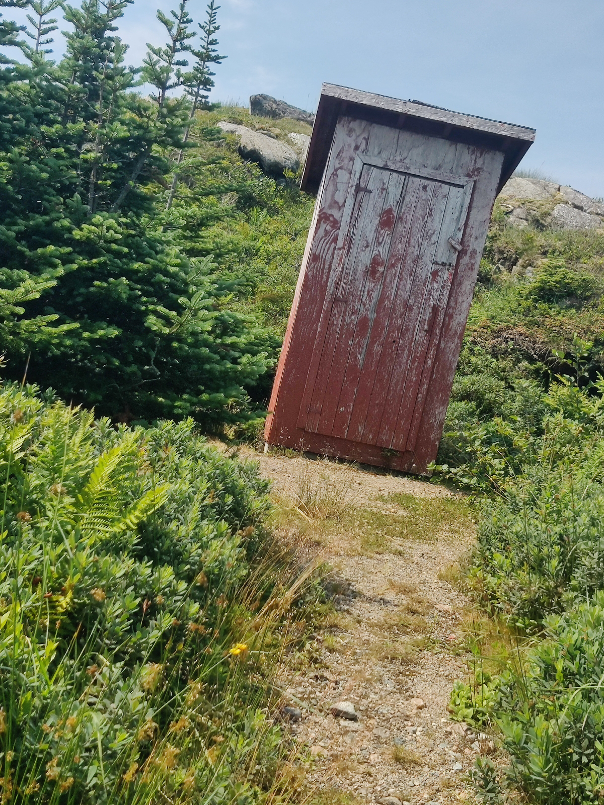
The trail begins with a convenience....
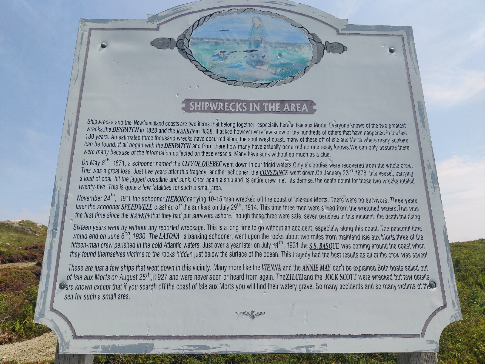
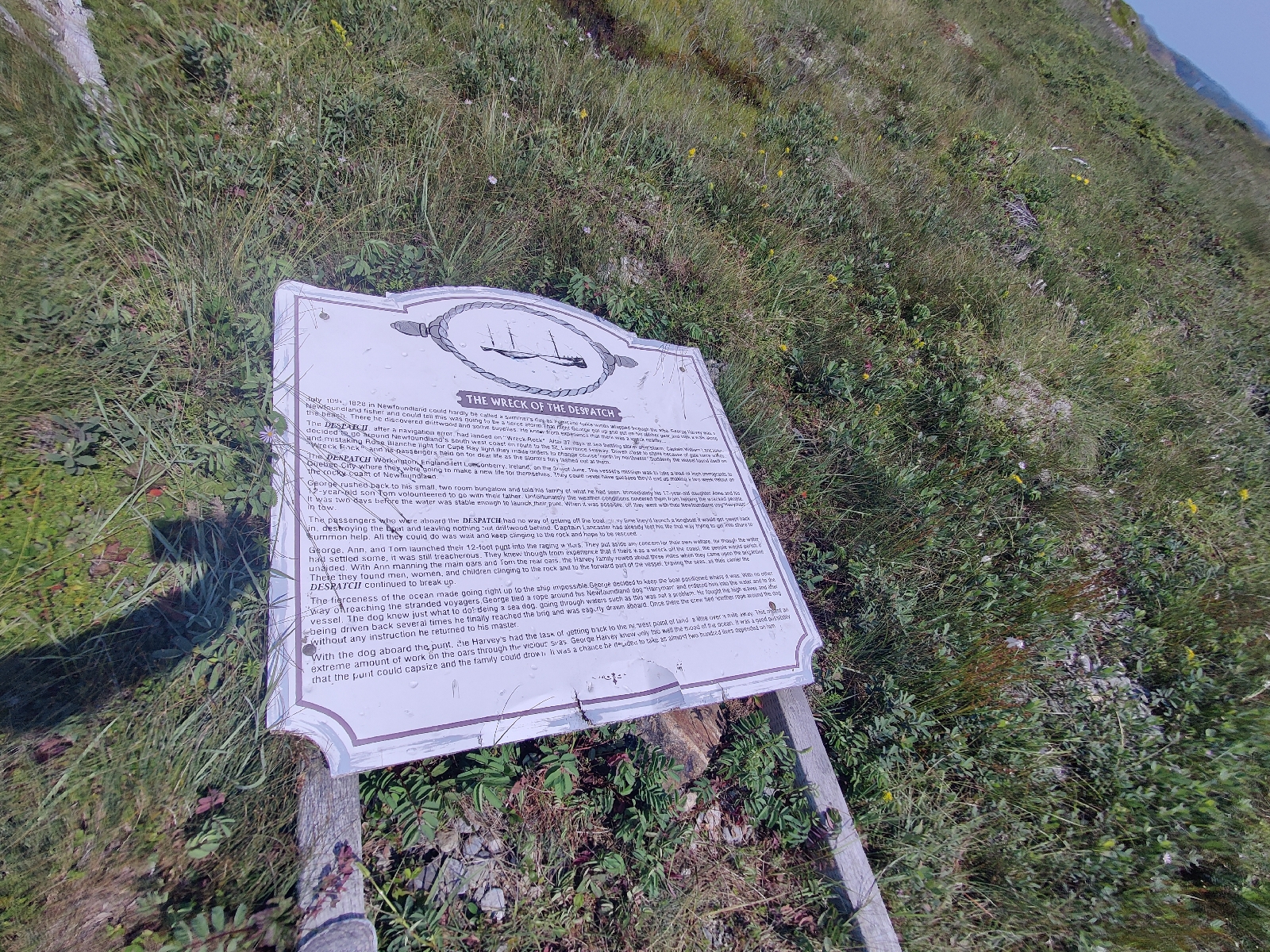
... and has half a dozen signs erected along its route telling the story of the Harvey family's exploits (it's well worth reading their account in full)....
As you can see, some of the signs have fallen victim to the storms that have continued to lash this coast (the most recent being Hurricane Fiona in 2022).
I hadn't fully appreciated that this far north was subject to Hurricane damage, but it clearly is. Fortunately, there is no such weather around at present and St Peter's in Cape Breton, where I will leave the boat is off their normal track
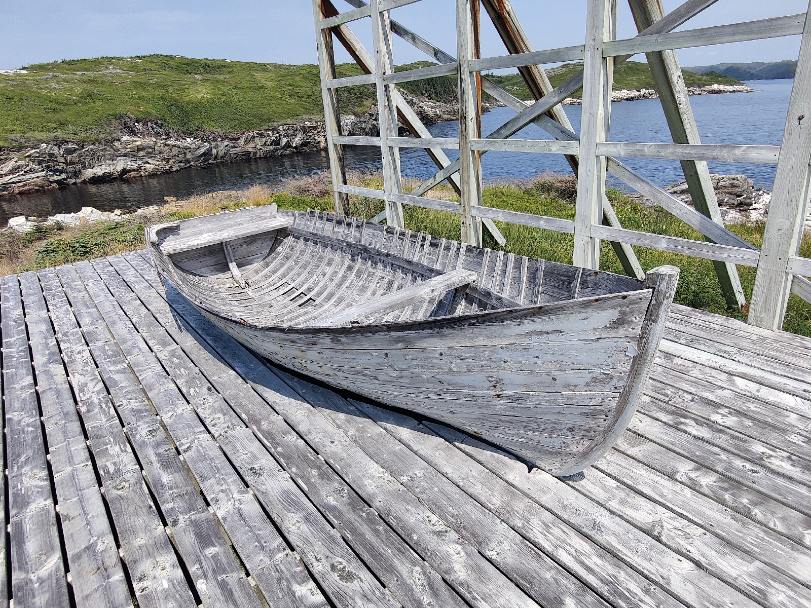
At the end of the trail is a replica of the punt (I have my doubts as to it's accuracey however - it seems much too fragile to have served the purpose described) - the open boat that the Harvey's used on their rescue missions....
I depart for Cape Breton this afternoon. South Westerlies are forecast for the next 24 hours and should then back to the south. I'll therefore sail as close to south as I can make until the wind veers and then head west. Whether that will take me towards the north east or the south end of Cape Breton, is too early to be sure, but if it's the south, I would probably continue on to the St Peter's canal without stopping, which may make it a two day trip.













No comments:
Post a Comment